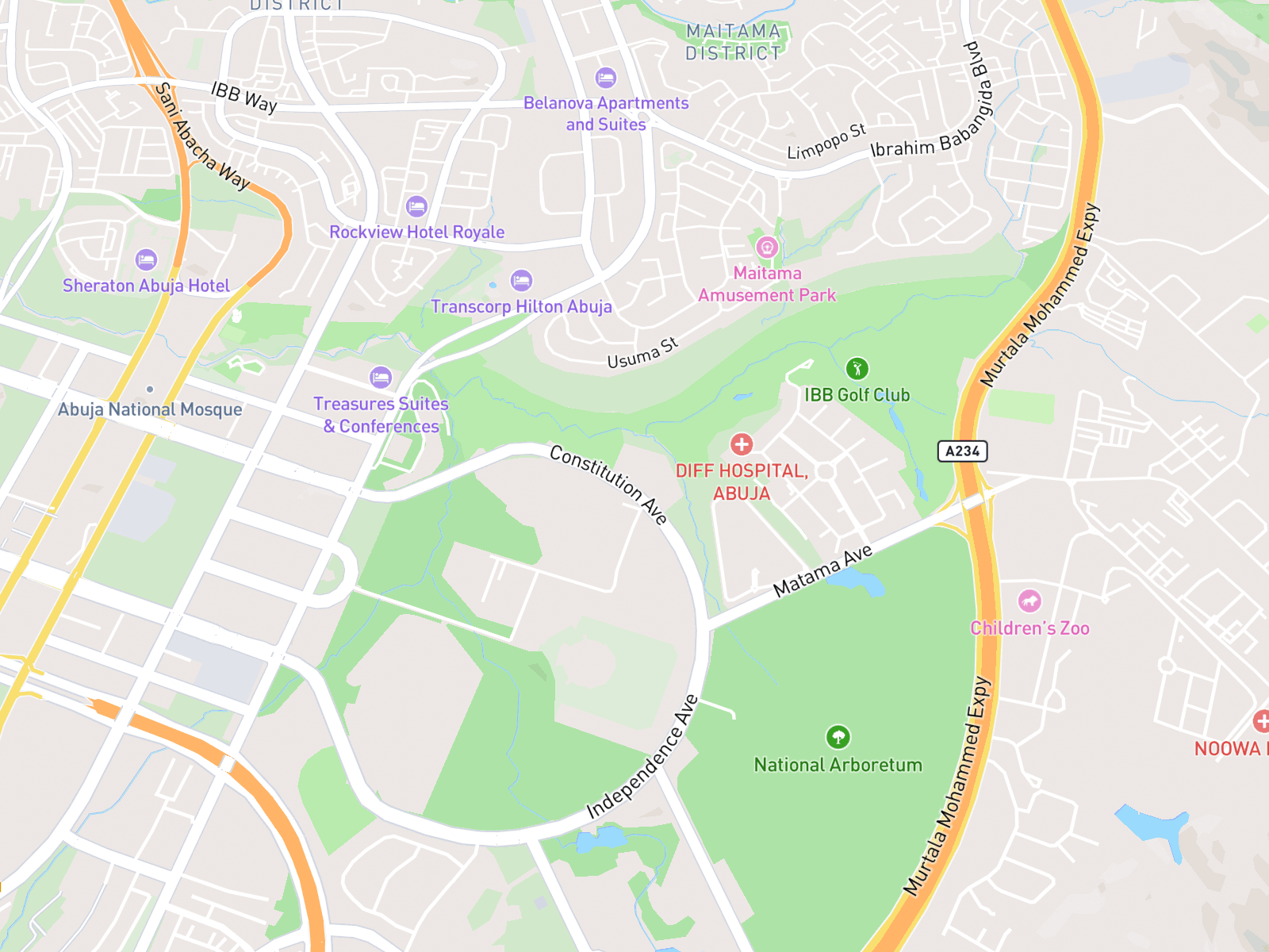
Interactive
The provider’s map. People can pan and zoom with the provider’s own controls.
Shows where an office or service is: the written address first, with an optional map and a link to directions.
Updated
Office location
<div class="nds-map-embed"> <div class="nds-map-embed__frame"> <iframe class="nds-map-embed__map" title="Map showing the Ministry, Abuja" loading="lazy" tabindex="-1" referrerpolicy="no-referrer" srcdoc="<!DOCTYPE html><html><head><style>html,body{margin:0;height:100%;}img{display:block;width:100%;height:100%;object-fit:cover;}</style></head><body><img src="/images/office-location-map.png" alt=""></body></html>" > </iframe> </div> <p class="nds-map-embed__directions"> <a class="nds-link nds-link--md nds-map-embed__directions-link" href="https://www.google.com/maps/search/?api=1&query=Federal%20Secretariat%20Abuja" target="_blank" rel="noopener noreferrer" > Get directions in Google Maps <span class="nds-sr-only"> (opens in new tab) </span> <svg class="nds-map-embed__external" focusable="false" aria-hidden="true"> <use href="#nds-icon-external-link"> </use> </svg> </a> </p></div>The written address is the real content. Add a map only when it helps people find the place, and always link to directions. The map, its zoom buttons and its marker come from the map provider (Google Maps), so NDS styles only the frame around it.
The map frame’s states. The map itself, with its zoom buttons and marker, is drawn by the provider.
The provider’s map. People can pan and zoom with the provider’s own controls.
An image of the map. The whole image links to the directions.
While the map loads. No directions link yet.
The map failed, JavaScript is off or map cookies were declined. Points people to the address and link.
The properties of the map embed in this pattern. The same in HTML, WordPress and React.
| Property | Type | Possible values | Description |
|---|---|---|---|
| variant | string |
| Interactive embeds the provider’s map. Static shows an image that links to the directions. Loading and unavailable are set by the page. |
| title | string |
| Required. Names the place for the map frame, like “Map showing the Ministry, Abuja”. |
| location | string |
| Required. The address or coordinates. One marker only, centred on it. |
| directionsHref | string |
| Required. The “Get directions in Google Maps” link. |
In code, the map is the provider’s <iframe>, with a title that names the place and
loading="lazy". NDS doesn’t restyle what is inside it. Tab must move past it without getting
stuck. The directions link opens in a new tab and says so with a visually hidden “(opens in new tab)”.
| Part | Token | Contrast on the page |
|---|---|---|
| Map frame | border/default 1px · radius/100 · 400px tall on desktop, 240px on mobile | Border is decorative |
| Map, marker and zoom | Drawn by the map provider inside the frame. Not NDS tokens | — |
| Address | nds-contact-block: address, phone, email and opening hours, beside or under the map | 17.6:1 |
| Focus ring | border/focus on the directions link | 4.5:1 |
| Directions link | nds-link Md · icon/external-link (size/icon/sm) | 5.6:1 |
| Loading · unavailable | surface/subtle · surface/muted · text/primary and text/secondary · Body/small and Body/small-emphasized | 6.4:1 or more |
| Spacing | spacing/200 16px · spacing/100 8px (link gap) | — |
Contact us
Phone
0800 123 4567Offices
Federal Capital Territory
Federal Secretariat, Phase 1
Shehu Shagari Way, Abuja
Lagos
Alausa Secretariat, Block 5
Ikeja
Kano
Audu Bako Secretariat
Kano
Opening hours
Monday to Friday, 8am to 4pm
Closed on public holidays
Put the map next to the written address. nds-contact-map places them side by side.
Don’t show a map without the written address. The address is the real content.
How the address, map and link sit together.
How to write the map title, the link and the fallback text.
Map title: “Map showing the Ministry, Abuja”.
The written address is the content. The map adds to it.
“Get directions in Google Maps”, not “Click here” or “View map”.
Add a visually hidden “(opens in new tab)”.
“The map could not be loaded.” Then point to the address and link.
| Write | Don’t write | Why |
|---|---|---|
| Map showing the Ministry, Abuja | Map | Names the place. |
| Get directions in Google Maps | Click here | Says where it goes. |
| Get directions in Google Maps (opens in new tab) | Get directions | Warns about the new tab. |
| The map could not be loaded | Error loading resource | Plain words. |
| Use the address and the directions link | Try again later | Gives people a way forward. |
The written address is the real content, so people who can’t use the map lose nothing.
| Key | What it does |
|---|---|
| Tab | Moves past the map without getting stuck, then to the directions link. |
| Shift+Tab | Moves back. |
| Enter or Space | Enter on the directions link opens the directions in a new tab. |
Copy the code for HTML, WordPress or React from the Code tab in Live example. The options are listed under Specifications.
Use nds-contact-map from 01 Library – Foundations: it places nds-contact-block and
nds-map-embed together. Hide nds-map-controls: in code, the provider draws the zoom
buttons and marker. Don’t detach it.
Is this page useful?